

Pinnacle Mountain State Park is a day-use park just west of Little Rock, with more than 33 miles of trails for hiking and mountain biking. You can drive there for a walk through the Arkansas Arboretum, a summit hike or time outdoors along the Little Maumelle.
- Location: 9600 Highway 300, Roland, Arkansas.
- Trail network: More than 33 miles of trails, including more than 19 miles of mountain-bike trails.
- Entry: Free; rentals and pavilion reservations cost extra.
- Visitor Center: Open daily from 8 a.m. to 5 p.m., with some holiday closures.
Getting to the state park
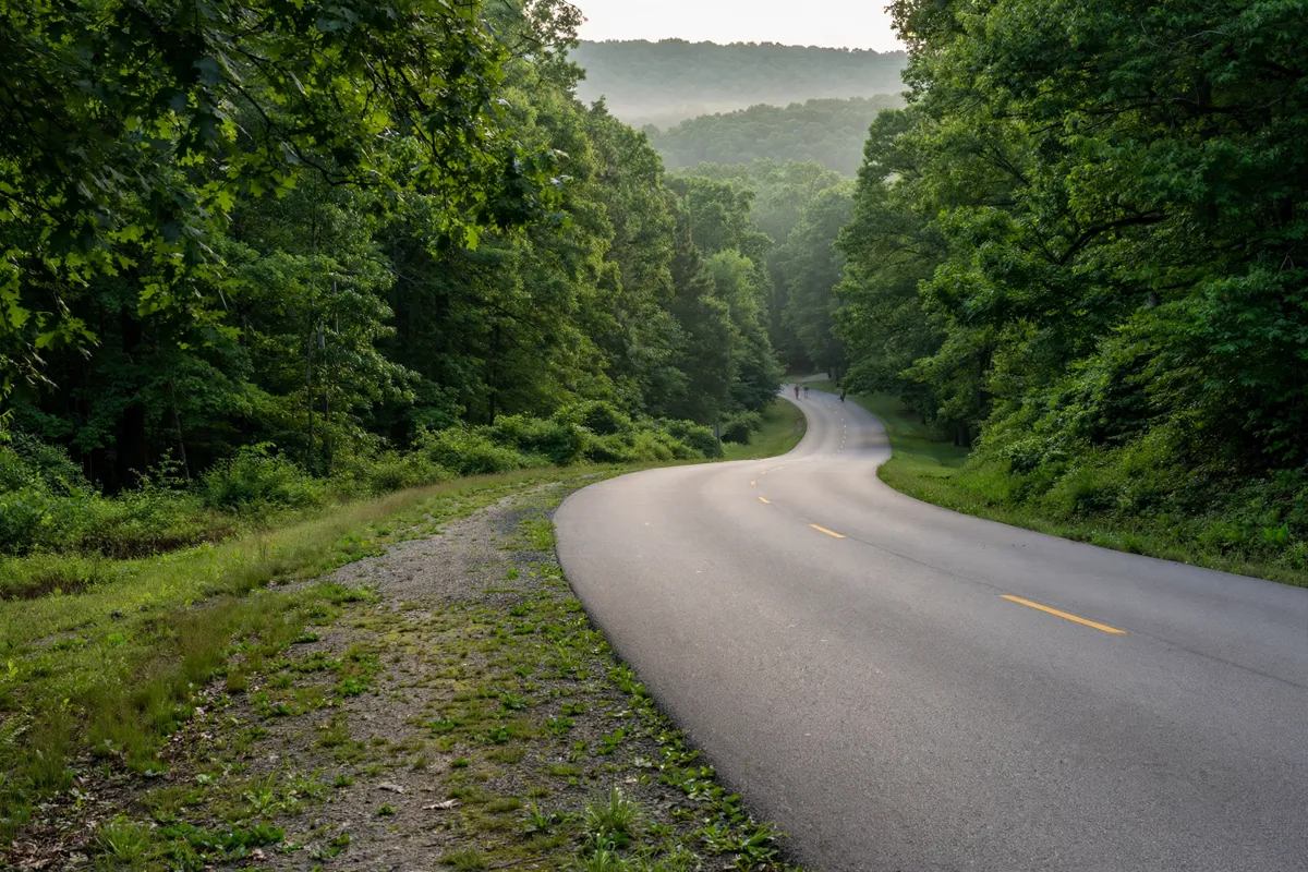
Pinnacle Mountain State Park is west of Little Rock, and the visitor center is a useful first stop for directions and trail planning. From downtown Little Rock, follow I-630 west to I-430 north, take exit 9 for AR-10/Cantrell Road, then turn right onto Pinnacle Valley Road.
The park’s official address is 9600 Highway 300, Roland, AR 72135. The visitor-center GPS coordinates are 34.8416, -92.49497. If you need to contact the park, call 501-868-5806.
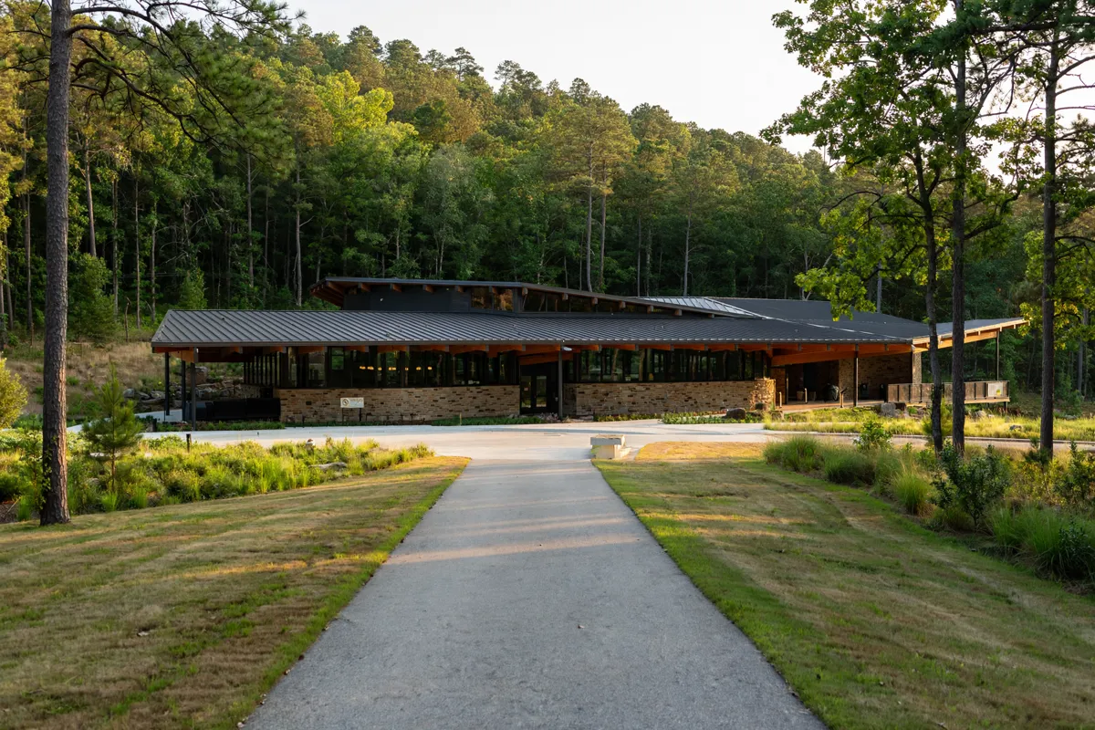
The park has more than 2,300 acres to explore. Its visitor center connects to the accessible Lichen Link Trail, which leads to the Little Maumelle boat ramp; paired with a wide paved sidewalk, the trail forms a loop.
Choosing a trail and viewpoint
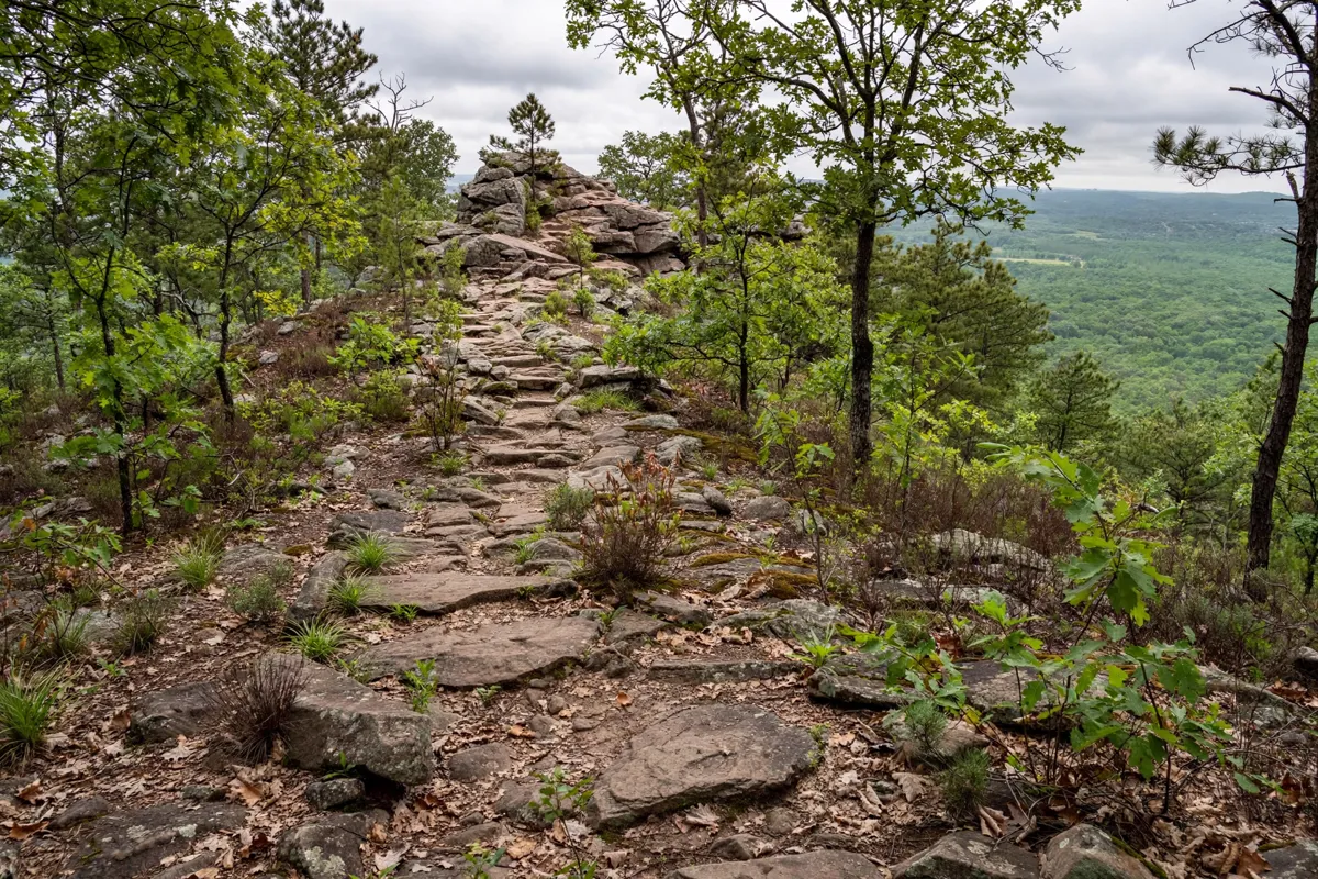
Pinnacle Mountain State Park has routes for short walks, summit hikes and mountain biking, so choose your trail based on the kind of outing you have in mind. The park lists the Arkansas, Base, Coachwhip, East Quarry, East Summit, Jackfork, Kingfisher, Ouachita National Recreation, Rocky Valley and West Summit trails.
For a paved, barrier-free walk, the Arkansas Trail runs 0.75 mile through the 80-acre Arkansas Arboretum. Interpretive signs along the route introduce the landscape. The park identifies several trails as hiking-only, including Arkansas Arboretum, Base, East Quarry, East Summit, Ouachita and Rocky Valley; its Monument Trails map also marks mountain-bike routes by difficulty.
If reaching the summit is your goal, the West Summit Trail and East Summit Trail both climb to the top of the mountain. Check the park’s trail map before setting out to choose a route that suits your plans and to distinguish hiking trails from bike routes.
The park’s history adds another dimension to a walk here. It is certified as a Trail of Tears National Historic Site. The mountain witnessed the hardships of Cherokee, Choctaw, Creek, Seminole and Chickasaw removal parties.
Park facilities and visitor information
- Hours
- Friday through Sunday from 9:30 a
The Visitor Center is open daily from 8 a.m. to 5 p.m. and closes on New Year’s Day, Thanksgiving Day, Christmas Eve and Christmas Day. The launch ramp, picnic area and Arkansas Arboretum are open daily from 6:30 a.m. until one hour after sunset, and heated restrooms are open year-round.
Loblolly Outpost has seasonal weekend hours: Friday through Sunday from 9:30 a.m. to 4:30 p.m. from March through August, and Saturday and Sunday from 10 a.m. to 4 p.m. from September through February. Park gates close one hour after sunset; posted closing times can vary when pavilion rentals or special events are in progress.
Park entry is free. Pavilion reservations and rentals have fees, so contact the park for current details. For a different way to spend time at the park, the Big Maumelle Area has a kayak kiosk with single and tandem rentals. The hours and rates vary by rental length.
Weather, safety and trail etiquette
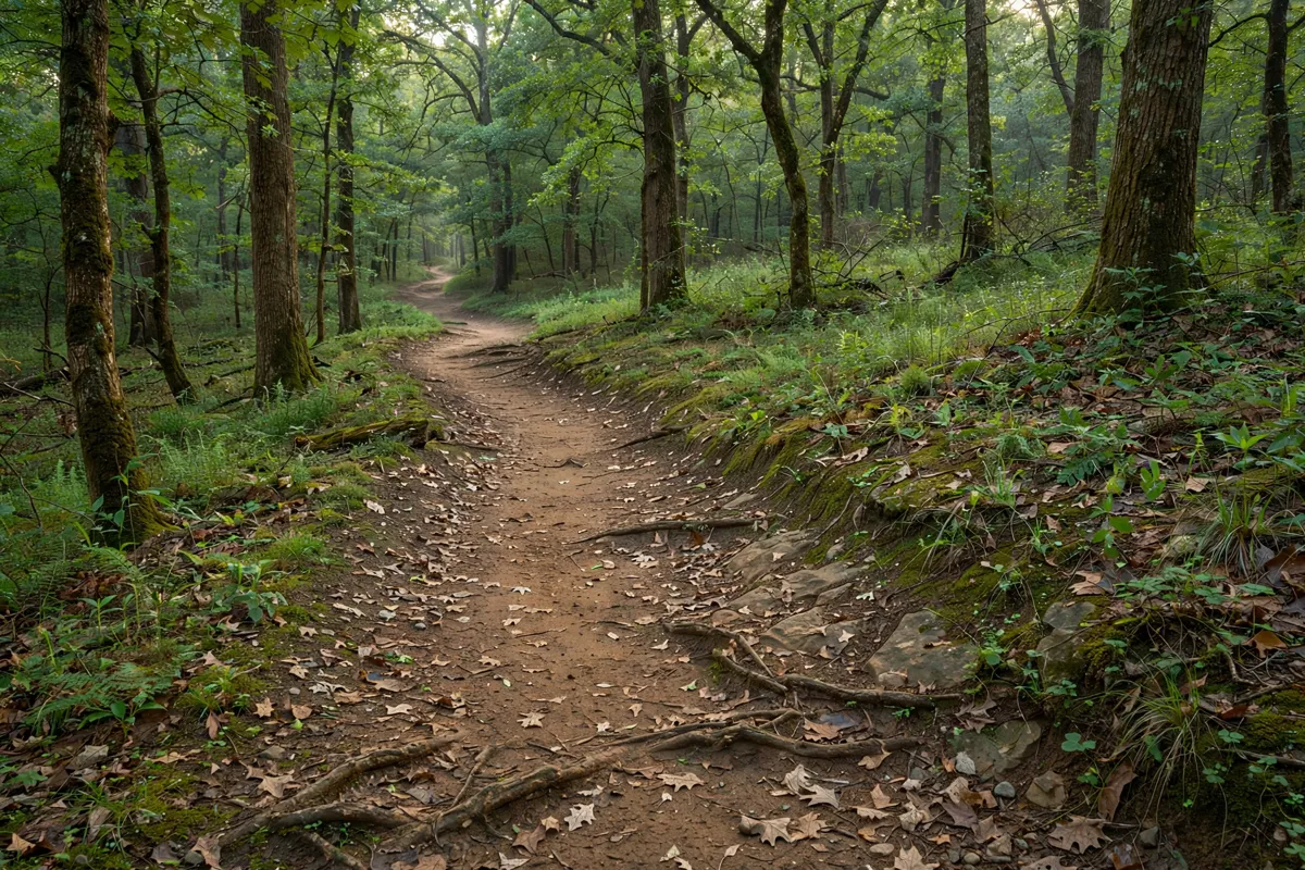
Stay on marked routes, follow posted warnings and keep children under supervision where fences or warning signs are absent. The park brochure also requires pets to remain leashed at all times.
Before choosing a route, check the park map for trail type and difficulty, especially if you are deciding between hiking and mountain biking. The park’s Monument Trails map identifies hiking-only routes and labels bike routes by difficulty. Camping is not permitted within Pinnacle Mountain State Park.
A practical half-day plan
Start at the Visitor Center to orient yourself and choose a route. For a gentler walk, head to the Arkansas Arboretum and its paved trail; if you want to climb to the summit, choose the East Summit or West Summit Trail.
You can finish with a picnic or time by the Little Maumelle, depending on your plans and the facilities you want to use.
Pinnacle Mountain State Park is about 19.3 miles from El Rancho Motel, so allow for the drive before choosing a trail.
Before you go: Hours and rental details can change, so check the official site before you go.
If you’re adding time in town, a one-day Little Rock route for history and riverfront stops can complement the park outing.
FAQs
Is entry to Pinnacle Mountain State Park free?
Yes. Park entry is free, while rentals and pavilion reservations have fees.
Which trails reach the top of Pinnacle Mountain?
The East Summit Trail and West Summit Trail both reach the mountain’s top. The park map can help you compare routes and trail types.
Can you hike a paved, accessible trail in the park?
Yes. The Arkansas Trail is a 0.75-mile paved, barrier-free route through the Arkansas Arboretum. The accessible Lichen Link Trail connects the Visitor Center to the Little Maumelle boat ramp.
What else can you visit on a day trip from Little Rock?
For another outdoor outing, Hot Springs National Park is also covered in a day-trip guide.